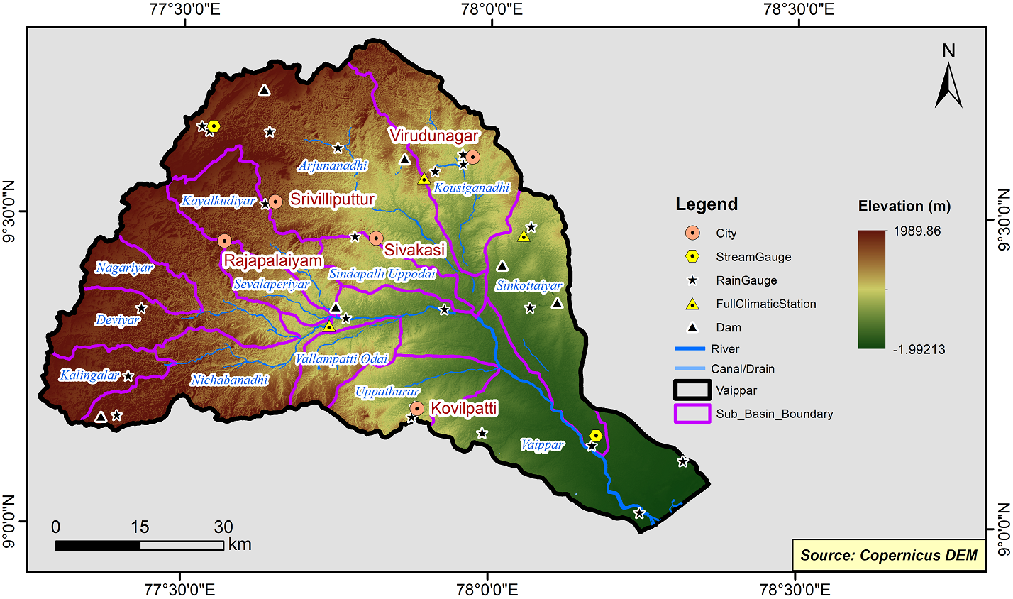
Vaippar Basin
The Vaippar river basin is situated between latitudes 09o 55’00’’-10 o 45’00’’ N and longitudes 78o 15’00’’ - 79o 30’00’’E and is located in the middle part of Tamil Nadu on the coastal side. In this basin, there are 3 prominent rivers namely Vaippar, Ambuliyar and South Vellar with small streams. The north and western part of Vaippar basin is occupied by Cauvery river basin, south by Pambar and Kottakaraiyar river basin and east by Palk Strait and Bay of Bengal. The total geographical area of Vaippar basin is 4663.04 Sq.Km. It covers part of Pudukkottai, Thanjavur, Trichirappalli and a portion in Sivagangai and Dindigul districts.
The Vaippar Basin consits of 3 Sub-Basins and their areal extenet are as follows:
|
Name of the Sub-basins |
Total area of the Sub-basin (sq.km) |
|
Vaippar |
2106.43 |
|
Ambuliyar |
825.69 |
|
South Vellar |
1770.01 |
 |
|---|
|
|
Hydrological Variables
Base Period (1985-2014) Near Century (2021-2050)
PCP - Precipitation; SURQ - Surface Runoff; ET - Evapotranspiration - All units are in mm
Climate Risk
Base Period (1985-2014) Near Century (2021-2050)

