Institute of Remote Sensing has the following laboratories:
- Surveying Lab
Electronic Distance Meter, Total Stations, Geodetic GPS Receivers, Hand held GPS, Digital and Laser Theodolites, Levels and Ground Survey Equipment
- Photogrammetry Lab
Leica Photogrammetry Suite (LPS), PhotoMod Digital Photogrammetric Software, Mirror and Pocket Stereoscopes
- GIS and Image Processing Lab
ArcGIS GIS Software, QGIS, GRASS Open source GIS Software, ERDAS Imagine, EASI/PACE, E-Cognition, High-End Workstations, Digitizer, Large Format Plotters
- Remote Sensing Interpretation Lab
Satellite data archive, Light Tables
- Microwave Remote Sensing Lab
Sentinel Application Platform (SNAP), GAMMA Software
- GPS Processing Lab
Trimble Business Centre (TBC), GAMIT/GLOBK
- Modern Mapping Lab
UAV Mapping Tools (Open Source), LiDAR Data Processing Tools
- Geo-Intelligence Lab
IoT Tools for Data Collection & AI/ML Models Training & Inference Programs.
- Basic Testing Lab
Simple Testing Kit for Water & Soil Quality (Under Development)
- UG & PG Project Lab
Image Processing, GIS, UAV Mapping, Photogrammetry Software & other open source tools enabled for development
- Student Research Lab
MIKE 11, MIKE 21, MIKE Urban, MODFLOW
- R & D Project Labs
All the above laboratories are having modern equipment and latest software to carryout the R & D Projects.
General Facilities:
- Conference room
- Auditorium
- Class rooms with A-V equipment
- Generator
- Fully Furnished Auditorium
- Discussion Room
- Library
- RO Drinking Water
- Fully WiFi enabled and 24/7 CCTV Surveilled Block
- Lift
- Tactile Pavements for Differently Abled Persons
 GPS Processing
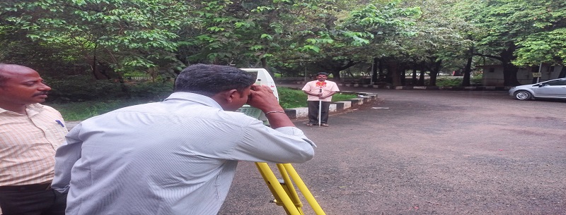 Total Station survey
 CORS survey
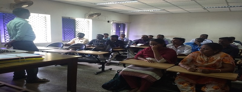 CSTAR Class Room
 ALTM LAB
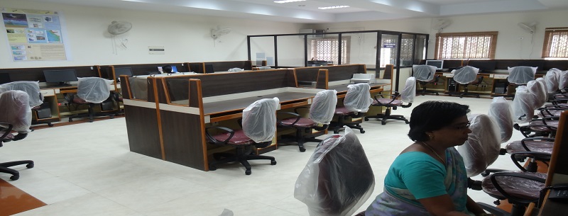 Microwave Remote Sensing Lab
 Digital Photogrammetry Lab
 Electronic Surveying Lab
 PHOTOGRAMMETRY LAB
 MODERN SURVEYING
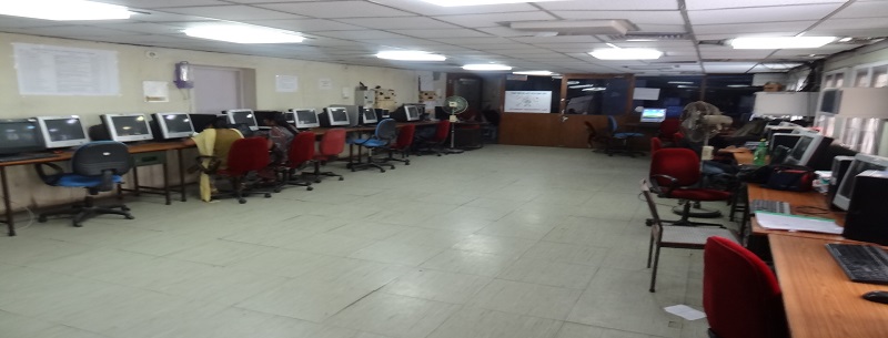 Students Research Lab
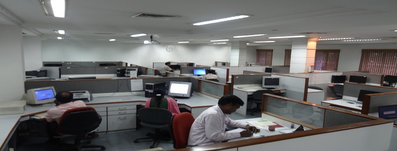 GISLAB
 SURVEY TRAINING